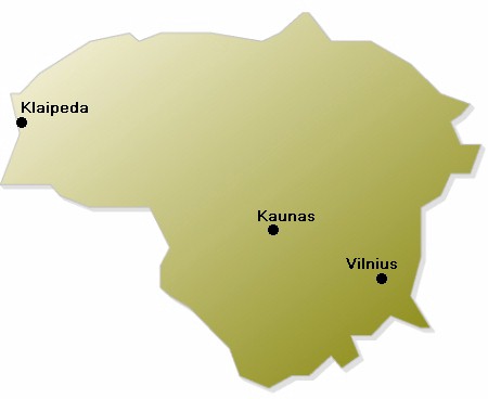
Lithuania: Map/Geography


Lithuania is a small country in eastern Europe on the coast of the Baltic Sea. It shares borders with Latvia,
Belarus, Poland and Russia. Lithuania has about 3,600,000 inhabitants. The capital city of Lithuania is Vilnius
with about 600,000 people living there. Other known cities are Kaunas (which is the second-biggest city of the country)
or Klaipeda.
Lithuania has a size of about 65,200 sq km - that´s nearly the same size as Bavaria. The climate is continental with
moderate winters and hot summers. The landscape is dominated by many small lakes and huge woods. There are no mountains
in Lithuania. The largest river in Lithuania is the Nemunas.
Lithuania was an independent country beetween the two world wars. In 1940 it was annexed by the USSR. On 11 March 1990,
Lithuania became the first of the Soviet republics to declare its independence. This proclamation was recognized in
September 1991. Lithuania today is an independent democratic republic. It has an elected parliament and president.

